Our Civil War History: Pocahontas’ Strategic Location
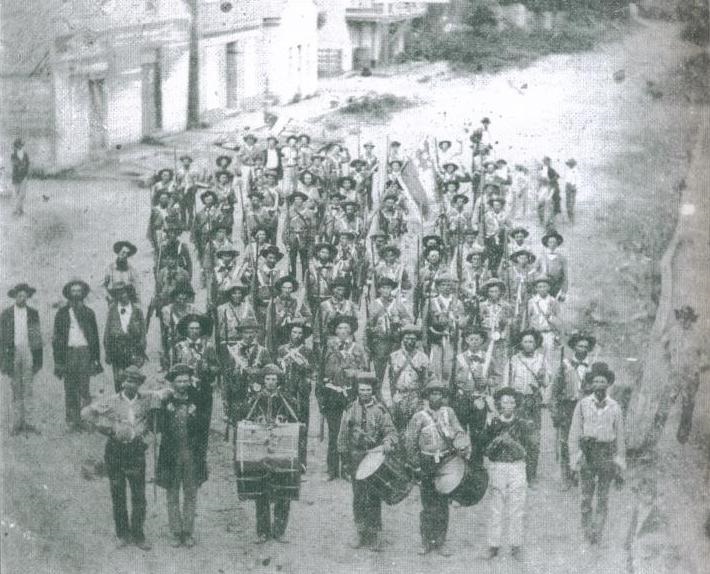
When Arkansas voted to secede from the United States in 1861, Arkansas’ Governor Rector ordered every available soldier in the state (members of the State Voluntary Militia like the Hempstead Rifles militia pictured above) to report to Pocahontas. The reason was that this was the logical invasion route into Arkansas by Union forces in Missouri. To our west was the virtually roadless and rough terrain of the Ozarks. To the east were the vast, swampy and also roadless wetlands of eastern Arkansas.
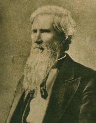
Henry Massie Rector (1816–1899), Sixth Governor of Arkansas
Here in Randolph County there was a road—the federally maintained “Old Military Road”, as well as river transportation and supply from here into central Arkansas. Pocahontas was the focus of the defense of Arkansas in the early years of the war. The Port of Pocahontas was the main Confederate supply depot in those early years. Pocahontas was also the location of the first Confederate military hospital in the state.
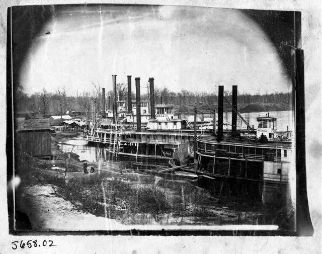
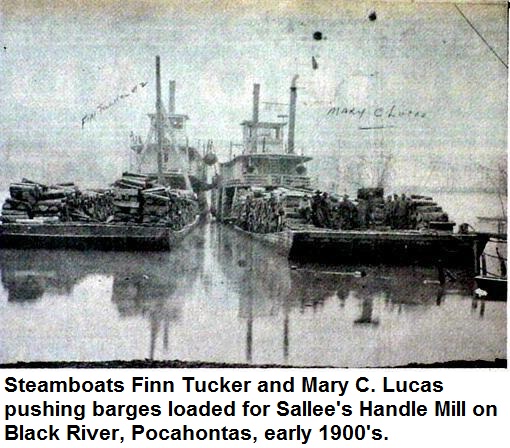 From 1840 to 1851, the Port of Pocahontas recorded more freight in and out than any other port in Arkansas.